Why Digital Maps Can Reboot Cultural History
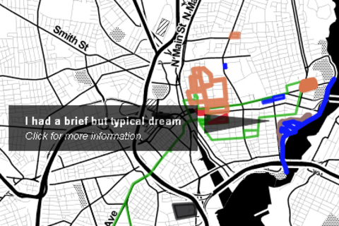
Digital maps dot the landscape of the Internet and our mobile devices. And for the most part, these maps live in a perpetual NOW. But one thing often overlooked in the rush for geo-currency is the amazing ability of maps and their associated location information to tell compelling stories about our shared history.
The panelists, operating in the design, marketing, cultural heritage and not-for-profit sectors, are expert in bringing historic digital geospatial data to bear to create useful contemporary tools and services.
The panelists will share their insight on building contemporary, cutting-edge tools and projects that leverage open source technologies such as Omeka, GeoServer, OpenLayers and many others, while bringing attention to the importance of preserving our digital geographic cultural heritage for the long-term benefit of commerce, entertainment and history.
Presenters

Butch Lazorchak is a digital archivist at the Library of Congress working in the National Digital Information Infrastructure and Preservation Program, a collaborative project that supports a network of partners exploring the capture, preservation and provision of access to a rich variety of digital information.

Web Applications Developer on the Scholars' Lab R&D team, David graduated from Yale University with a degree in the Humanities in 2009 and worked as an independent web developer in San Francisco, New York, and Madison, Wisconsin before joining the lab in 2011. David is the lead developer on Neatline and works on research projects that use software as a tool to advance traditional lines of inquiry in literary theory and aesthetics.

Deborah Boyer is a project manager at Azavea, a Philadelphia based software development company specializing in the creation of geographic web and mobile software, where she manages digital humanities and urban forestry related projects. She also serves as the project manager for PhillyHistory.org, which provides public access to digitized historic photographs and maps of Philadelphia.

Matt Knutzen is the Geospatial Librarian and Curator of the Lionel Pincus and Princess Firyal Map Division at the New York Public Library. For the past dozen years, he's overseen this collection of around half a million maps and 25,000 books and atlases, both building the collection and ensuring its long term preservation. He takes every chance he can to show the collection off, providing context and insight to students to donors to scholars alike. Matt has also helped the library establish a new vision for map libraries on the web, through the large scale digitization of historic map collections, the creation of innovative tools for public engagement through those maps and by building from them, with the help of the public, new, queriable, mashable databases.


